Converting offshore measurements into bankable wind, load, and financing insights.
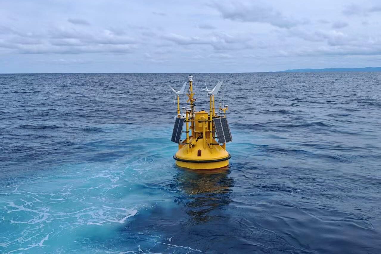
Designed for deep-water and shallow sites where fixed met masts are not feasible.
System overview
The Betz Floating LiDAR System is a next-generation offshore measurement platform engineered to deliver high-resolution wind and met-ocean data in deep-water environments.
Purpose-built for projects where traditional met masts are not viable, the system transforms environmental measurements into bankable datasets and engineering insights that support project financing and development.
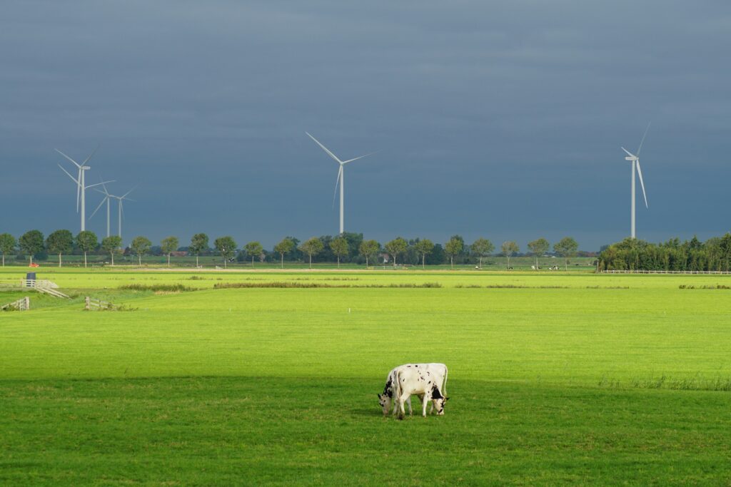
Industry-leading floating LiDAR platforms designed for harsh offshore environments. Our systems deliver bankable wind resource data with unmatched accuracy, enabling developers to reduce uncertainty and accelerate project timelines.
Comprehensive measurement of oceanographic and atmospheric conditions, including waves, currents, and weather patterns. Our integrated metocean solutions provide critical insights for safe design, installation, and operations.
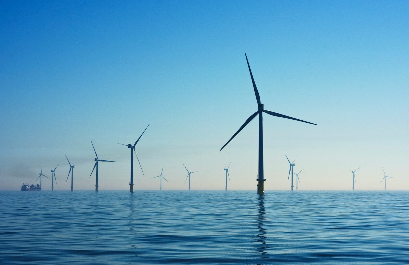
Independent validation of wind farm performance through high-resolution measurement and analytics. We ensure projects meet expected energy yields, supporting financing, compliance, and long-term reliability.
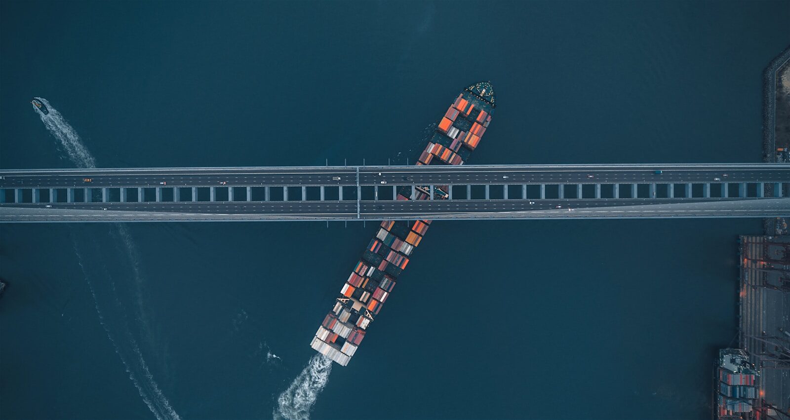
Advanced monitoring solutions for ports, subsea assets, and offshore infrastructure. Betz Group delivers real-time intelligence to enhance safety, optimize maintenance, and extend asset life.
Our onshore systems combine LiDAR-based measurement with AI-driven analytics to deliver deeper insights into wind behavior, environmental impact, and operational performance.
Our analytics platform integrates environmental data, sensor inputs, and operational metrics into unified, AI-driven models that support forecasting, optimization, Turbulence Intensity, and decision-making.